Somerset · TA20
A drone survey firm covering Chard
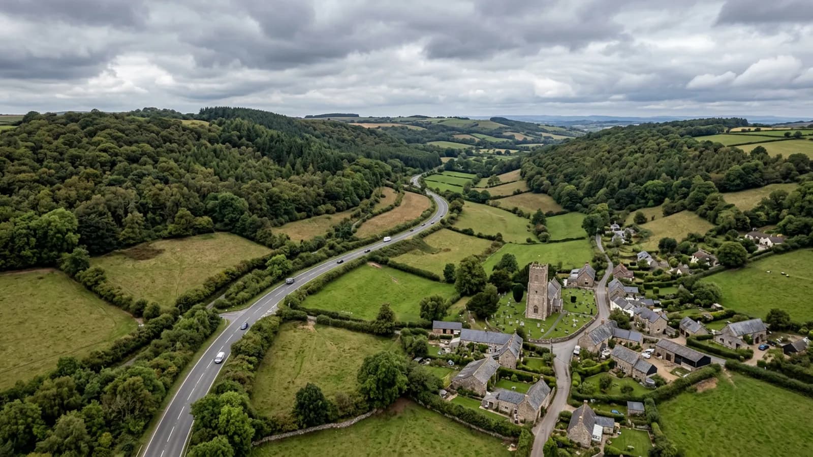
Around forty five minutes out and the highest town in Somerset, exposed on a ridge and holding frost longer than the lowland either side of it.
Forty five minutes, and a ridge at the end of it
Chard is roughly forty five minutes from the Exeter base, out along the eastern corridor past Honiton. It sits at a useful junction of routes, with Axminster, Taunton, Yeovil and Bridport all within reach of each other, which makes it a sensible anchor for a day covering more than one property in this part of Somerset.
As with everywhere on this list, travel is inside the fixed price. What the distance changes is not the cost but the notice: a date here is agreed in advance rather than dropped into a gap, and the more flexibility there is on the date, the better the flying conditions that can be picked.
The highest town in the county
At over 120 metres on a ridge, this is the most exposed inland town on the list. Wind reaches it from every quarter and it holds snow and frost longer than the surrounding lowland. Both matter to a building and both matter to a flight.
For the building, prolonged freezing and thawing is hard on mortar, on hamstone-bedded ridges and on any covering with an open joint. Water that gets in and then freezes does more damage than water that gets in and drains, which is why an open ridge joint on a Somerset ridge-top is a more urgent finding than the same joint in a sheltered valley.
For the flight, the practical point is that this town can be unflyable when Exeter is calm. The forecast that decides a date here is the local one, and a winter date is set with the understanding that it may move. Nobody is charged for a flight that did not happen.
Hamstone, lace mills and the modern estates
The long high street carries hamstone and rendered frontages, with hamstone-bedded ridges on the older buildings. Hamstone weathers softly and visibly, which makes it one of the more interesting materials to photograph at high resolution: the difference between weathering and failure is a matter of degree and it is far easier to judge from a close image than from the pavement.
The terraced lace-mill housing and the extensive post-war and modern estates on the lower slopes are more standard work. The streams either side of the main street that run to opposite coasts are a local curiosity rather than a survey consideration, but they are a reminder of how the ground sits: this is a watershed, and water leaves this town in two directions.
Country houses and estate buildings nearby
Forde Abbey lies a short distance from the town and the surrounding country carries a stock of large historic houses, estate cottages and farm buildings. Instructions from that kind of property are usually for a record across several structures at once, and the reader is often an estate manager or a trustee.
Chard Reservoir and the open ground around it are worth a note for flight planning: open water with wildlife around it is planned around rather than flown over casually, and the exposure on Snowdon Hill above the town is a step up again from the high street.
Behind the survey
What Chard clients are actually buying
CAA registered
Registered with the Civil Aviation Authority as an operator, with an Operator ID and a Flyer ID held. Ask for the numbers and you will get them before the visit.
A2 Certificate of Competency
The pilot holds an A2 CofC, the certificate that allows flying closer to uninvolved people than the default. There is no GVC, and this site says so rather than leaving you to guess.
Insured with Coverdrone
Commercial operations are insured with Coverdrone. If your site or your managing agent needs a certificate on file, it goes over with the quote rather than after the flight.
Two aircraft, one pilot
A DJI Mavic 4 Pro with a 100 megapixel Hasselblad camera for detail, and a DJI Mavic 2 Enterprise Advanced with a 640 by 512 radiometric thermal camera. Sam Hembury flies both himself.
Nearby
Also covered around Chard
- AxminsterThirty five minutes east of Exeter near the Dorset border, a hilltop town open to wind from every quarter, hard on exposed ridge and verge details.
- TauntonAround forty five minutes up the M5, a county town with heavy commercial stock and the most straightforward flying on the northern corridor.
- YeovilAbout an hour east of Exeter, a manufacturing town with large industrial roofs and some of the most reliable flying weather on this whole list.
See how a job runs
Request a quote in Chard
Send the address and what is worrying you. Sam Hembury will come back with a fixed price and the next slot that suits the weather.