Devon · EX16
A drone survey firm covering Tiverton
Twenty five minutes north of Exeter, a steep town where many roofs sit above the neighbouring roofline and take more wind than the map suggests.
The run north, and what it shares a day with
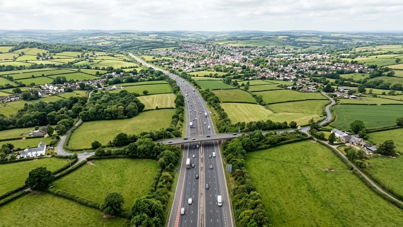
Tiverton is about twenty five minutes from base, up the motorway and along the link road. It sits on the same corridor as Cullompton and, a little further on, Wellington and Taunton, which is the practical reason a landlord or agent with buildings in more than one of those places should book them together rather than separately.
Nothing about the drive here is weather-dependent in the way the moor roads are, so a date in Tiverton is one of the more reliable ones to hold. What moves a date here is wind on the day rather than anything about getting to the town.
Steep ground and roofs that stand proud
The town is built where the Lowman joins the Exe, with the centre low and the residential streets climbing sharply north and west. That does two things to a survey. It means a good number of properties sit above the general roofline of their neighbours, where wind loading is measurably higher and ridge and verge details work harder. It also means that from ground level you often cannot see the roof of a building at all, because it is either far above you or far below you.
The stock is varied: a medieval and Georgian centre, Victorian mill workers' terraces with shared stacks and hidden valleys, extensive post-war estates, and large modern development on the eastern edge. Older outlying buildings carry stone slate, which is heavy, brittle and a poor candidate for anyone walking on it, and which is exactly the kind of covering a high resolution camera reads better than a person standing on a ladder.
A wet valley, and what that means for booking
The Exe valley here is notably wet, well above the Devon average. For a building that means prolonged wetting is the main agent of decay on shaded slopes rather than any single dramatic event, and a condition record every few years tells you more than a one-off inspection ever will.
For scheduling it means the useful flying window is narrower than in drier parts of the county, particularly through the winter. A visit here is set against a forecast, and if the forecast turns the date moves. Rescheduling costs nothing and nobody is charged for a flight that did not happen, which is the only sensible way to run survey work in a valley that wet.
Knightshayes, Blundell's and the canal give the town a stock of large institutional and estate buildings as well, and those are jobs where a written record with dated imagery is worth considerably more than an opinion, because the reader is usually a trustee, a bursar or a committee rather than the person who commissioned it.
The canal side and the lower town
The Grand Western Canal runs along the eastern edge of the town, and the flat ground beside it is some of the easiest launching ground in an otherwise steep place. That is a small thing that makes a real difference on a hill town: a clear, level position with long sightlines is worth walking a few minutes for.
The lower town around the confluence is where the older commercial stock sits, with flat roofs and rear additions behind Georgian frontages, and those rear areas are almost never seen by anybody at ground level.
Behind the survey
What Tiverton clients are actually buying
CAA registered
Registered with the Civil Aviation Authority as an operator, with an Operator ID and a Flyer ID held. Ask for the numbers and you will get them before the visit.
A2 Certificate of Competency
The pilot holds an A2 CofC, the certificate that allows flying closer to uninvolved people than the default. There is no GVC, and this site says so rather than leaving you to guess.
Insured with Coverdrone
Commercial operations are insured with Coverdrone. If your site or your managing agent needs a certificate on file, it goes over with the quote rather than after the flight.
Two aircraft, one pilot
A DJI Mavic 4 Pro with a 100 megapixel Hasselblad camera for detail, and a DJI Mavic 2 Enterprise Advanced with a 640 by 512 radiometric thermal camera. Sam Hembury flies both himself.
Nearby
Also covered around Tiverton
- CullomptonTwenty minutes up the M5 and straight off junction 28, which makes it one of the quickest towns here to reach and the easiest to fit in at short notice.
- CreditonTwenty minutes north west of Exeter on the A377, in farming country where the survey is as likely to be a barn, a thatch ridge or a farmhouse as a house roof.
- ExeterThe base is in Exeter, so a city job is a short run rather than a planned trip, and the whole of the operator paperwork is available before the visit.
- WellingtonAbout forty minutes north on the M5, at the foot of the Blackdown escarpment, where wind acceleration over the town is a live factor for a roof.
See how a job runs
Request a quote in Tiverton
Send the address and what is worrying you. Sam Hembury will come back with a fixed price and the next slot that suits the weather.