Cornwall · PL15
A drone survey firm covering Launceston
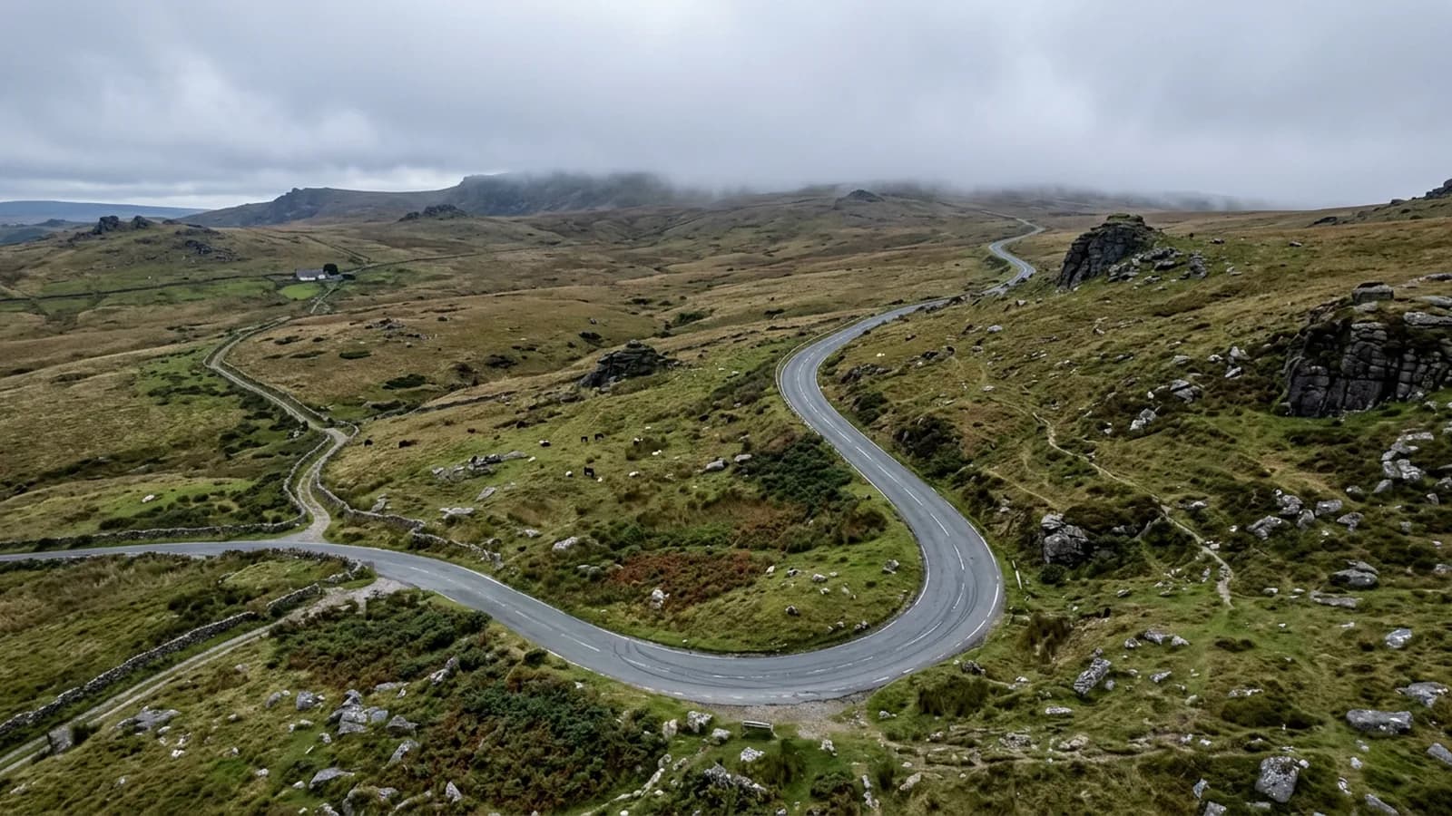
Just under an hour west on the A30 over the Cornish border, a high hilltop town where slate hanging tells you what the weather does here.
Over the border, and priced the same
Launceston is just under an hour from the Exeter base, straight out on the A30 across the top of Dartmoor and over the Tamar. It is the furthest west this site publishes, and the border makes no difference to how a job is quoted: one fixed price with travel inside it, the same as anywhere else on this list.
It is a booked day rather than a short-notice visit, and it works well combined with Tavistock or with anything else in the east Cornwall or west Devon area on the same run. Where a client has several properties out here, one visit covering the lot is the sensible shape.
A hilltop that catches two moors
The town sits high above the Kensey valley with the castle motte at the summit and Bodmin Moor rising to the south west, so it catches weather off both Bodmin and Dartmoor. Wind-driven rain from the south west is the defining local condition.
The building stock tells you that before any survey does. Slate hanging on exposed elevations is common here precisely because a vertical face of slate is what people learned to do about driving rain, and that in turn creates a specific inspection problem: a slate-hung elevation is very hard to read from below, since you are looking at it nearly edge on, and a slipped or nail-sick slate high on a face can sit unnoticed for years.
Flown at eye level to the elevation, a hung face reads clearly. That is not a general argument for drone surveys, it is a specific one about a covering that is unusually common in this corner of Cornwall.
A walled core and modern units by the road
The medieval walled core carries Georgian frontages, rendered and slate-hung townhouses and Victorian terraces on the slopes, all packed tightly on steep ground where access for any kind of tower or scaffold is awkward and expensive.
On the flatter ground by the A30 there are modern estates and industrial units, which are a different kind of instruction: large-span roofs, commercial owners and a straightforward record needed for a lease, a sale or a maintenance plan. Those are usually the jobs where the paperwork matters most, and the insurance certificate and registration numbers go out with the quote as standard.
Delabole slate on the older stock is worth a note in any report here. It is a durable covering with a long life, which means a Delabole roof that looks tired often has more left in it than an equivalent-looking modern one, and saying so is part of a survey being useful rather than alarming.
The church and the castle mound
St Mary Magdalene, with its carved granite exterior, and the castle motte above the town are the two structures everything else here is arranged around. Both sit high, both are protected, and both are surrounded by streets too narrow for access equipment.
The steam railway and the Kensey valley below give open ground for a launch position on that side, which is useful given how little of the walled core offers anywhere sensible to stand with a clear view upward.
Behind the survey
What Launceston clients are actually buying
CAA registered
Registered with the Civil Aviation Authority as an operator, with an Operator ID and a Flyer ID held. Ask for the numbers and you will get them before the visit.
A2 Certificate of Competency
The pilot holds an A2 CofC, the certificate that allows flying closer to uninvolved people than the default. There is no GVC, and this site says so rather than leaving you to guess.
Insured with Coverdrone
Commercial operations are insured with Coverdrone. If your site or your managing agent needs a certificate on file, it goes over with the quote rather than after the flight.
Two aircraft, one pilot
A DJI Mavic 4 Pro with a 100 megapixel Hasselblad camera for detail, and a DJI Mavic 2 Enterprise Advanced with a 640 by 512 radiometric thermal camera. Sam Hembury flies both himself.
Nearby
Also covered around Launceston
See how a job runs
Request a quote in Launceston
Send the address and what is worrying you. Sam Hembury will come back with a fixed price and the next slot that suits the weather.