Devon · EX31-EX32
A drone survey firm covering Barnstaple
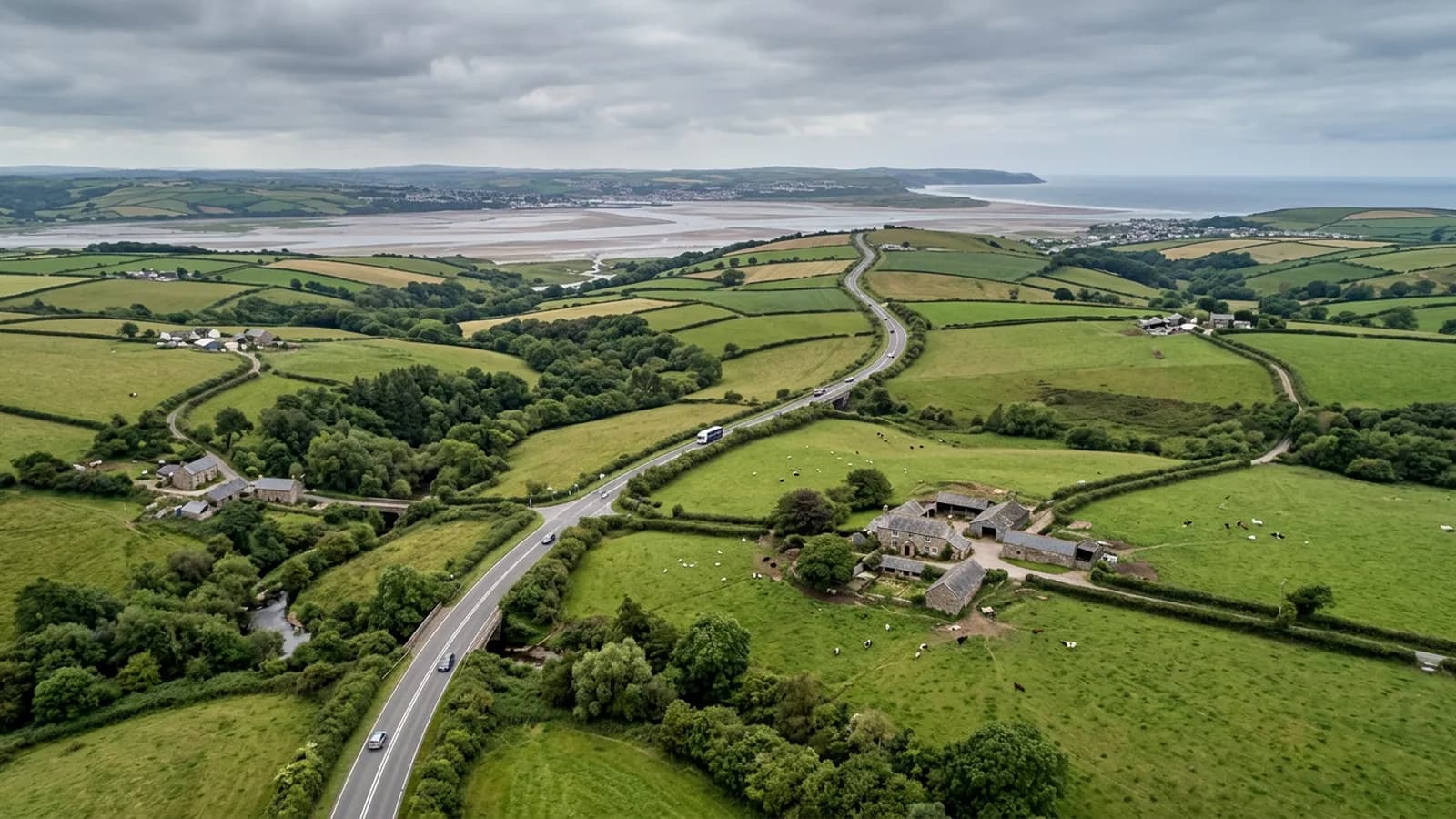
An hour north of Exeter on the A361, where Atlantic weather comes up the Taw estuary and prolonged wetting is the main agent of decay.
An hour up the link road
Barnstaple is about an hour from the Exeter base on the A361 link road. North Devon is its own world in travel terms: there is no motorway, the link road is the only fast route, and everything beyond Barnstaple adds meaningfully to the drive.
So this is planned work, and the plain framing is that a North Devon date is agreed rather than squeezed in. What that buys you is the same as anywhere else: a fixed price with travel inside it, the same surveyor, and a report inside 48 hours. For anyone with more than one property up here, booking Barnstaple, Bideford and Ilfracombe together turns three long drives into one.
A working town with real commercial stock
This is North Devon's main centre, and the building stock reflects that: a Georgian and Victorian core around the Pannier Market and Butchers Row, Victorian terraces on the slopes at Newport and Sticklepath, large post-war estates, and modern development at Roundswell and Anchorwood with large-span industrial roofs on the trading estates.
The trading estate work is a good fit for an aerial survey for the same reason it is everywhere: large roofs, no safe walking access, and gutters and plant nobody has looked at. What is different here is the distance from any competing supplier. There are fewer firms covering North Devon properly, which is exactly why the paperwork question matters more rather than less. A supplier who cannot produce insurance and registration at quote stage is a supplier who is relying on you having no alternative.
Atlantic weather up the estuary
The town sits at the tidal limit of the Taw on low ground beside the river, with steep wooded slopes rising north towards Exmoor. Atlantic weather comes up the estuary from the west with very little to break it, and rainfall is high.
Prolonged wetting is the main agent of decay on shaded slopes here, more than any single storm. Slate holds moss, timber stays damp, and mortar joints that would survive elsewhere give up. On a survey that shows as generalised wear across whole slopes rather than isolated damage, and a report needs to distinguish between the two so an owner is not persuaded to replace a roof that needs cleaning and repointing.
For flight planning, the estuary and the open ground west mean wind is the usual reason a date moves. A visit here is set against the local forecast, and with an hour of driving at stake, a marginal forecast is a reason to move it rather than to gamble.
The river frontage and the Long Bridge
The Long Bridge and the quay frontage put a good deal of the town's older commercial stock directly beside the water, which affects both exposure and flight planning. Wind comes along the river, sightlines are long in one direction and blocked in the other, and there is public footfall on the Tarka Trail beside it much of the year.
Rock Park and the open ground by the river give reliable launch positions for anything on that side, which makes the river frontage easier to work than its narrow streets suggest.
Behind the survey
What Barnstaple clients are actually buying
CAA registered
Registered with the Civil Aviation Authority as an operator, with an Operator ID and a Flyer ID held. Ask for the numbers and you will get them before the visit.
A2 Certificate of Competency
The pilot holds an A2 CofC, the certificate that allows flying closer to uninvolved people than the default. There is no GVC, and this site says so rather than leaving you to guess.
Insured with Coverdrone
Commercial operations are insured with Coverdrone. If your site or your managing agent needs a certificate on file, it goes over with the quote rather than after the flight.
Two aircraft, one pilot
A DJI Mavic 4 Pro with a 100 megapixel Hasselblad camera for detail, and a DJI Mavic 2 Enterprise Advanced with a 640 by 512 radiometric thermal camera. Sam Hembury flies both himself.
Nearby
Also covered around Barnstaple
See how a job runs
Request a quote in Barnstaple
Send the address and what is worrying you. Sam Hembury will come back with a fixed price and the next slot that suits the weather.